Like so many coastal areas in Hawai‘i, the once plentiful waters off North Kona have seen a decline in marine life over several decades. As the state wrestles with how to manage these natural resources, some communities are stepping forward with a plan of their own.
HPR’s Molly Solomon recently visited North Kona and spoke with residents about their personal connection to the land and the water.
Driving along the coast of the Big Island, the lava lands of North Kona seem to stretch on forever. I’m at an area called Ka??p?lehu, where pockets of fountain grass and kiawe trees pop out against the desolate backdrop of 200-year-old dried p?hoehoe lava.
“As we look at the ocean we can just see the top of the Kohala Mountains,” said Hannah Springer, whose ties to these lands stretch back five generations. “And here we begin to see the undulating landscape that is a part of this lava flow from Hual?lai.”

Hannah Springer grew up in the upland area of Ka??p?lehu. Her family’s ranch is behind us on the slopes of Hual?lai. Before that, her ancestors lived in Kukio, an area along the shoreline whose waters are part of a recently approved marine reserve in North Kona. The area now sits adjacent to a golf course and a luxury Four Seasons resort.
“We have seen transformational changes in society and on the landscape as well,” Springer said.
Those changes are visible in the waters just beyond these lava fields. Springer says for a long time, the rich and abundant marine life was protected by the area’s isolation. Roads to the coast weren’t paved and Hawaiians who fished here only took what they and their families could eat.

“When I was a kid, the charismatic fishes, the Triton’s Trumpet, the helmet shells — you could see their paths in the sand deposits on that shoreline,” said Springer. “I’ve seen lobsters walking around in broad daylight there.”
But that all changed in 1975, when the Queen Ka‘ahumanu Highway was built. This created public access roads to these fishing grounds.
“Now we’re not talking about a shoreline or an ocean that’s wild, like the windward sides of H?m?kua or Hilo, Puna. This is like walk-in water. If you can get to the ocean, it’s easy to get into,” she said. “This abundance was thus exposed to those who were there to take it, and take they did.”
Springer says immediately there was a decline in abundance and variety of species along the shoreline. Commercial fishers would drive through, taking truckloads of fresh fish with them. This spurred Springer and other community leaders to take action. They formed the Ka‘?p?lehu Marine Life Advisory Committee and have been fighting for a fishing moratorium in the area for nearly two decades.

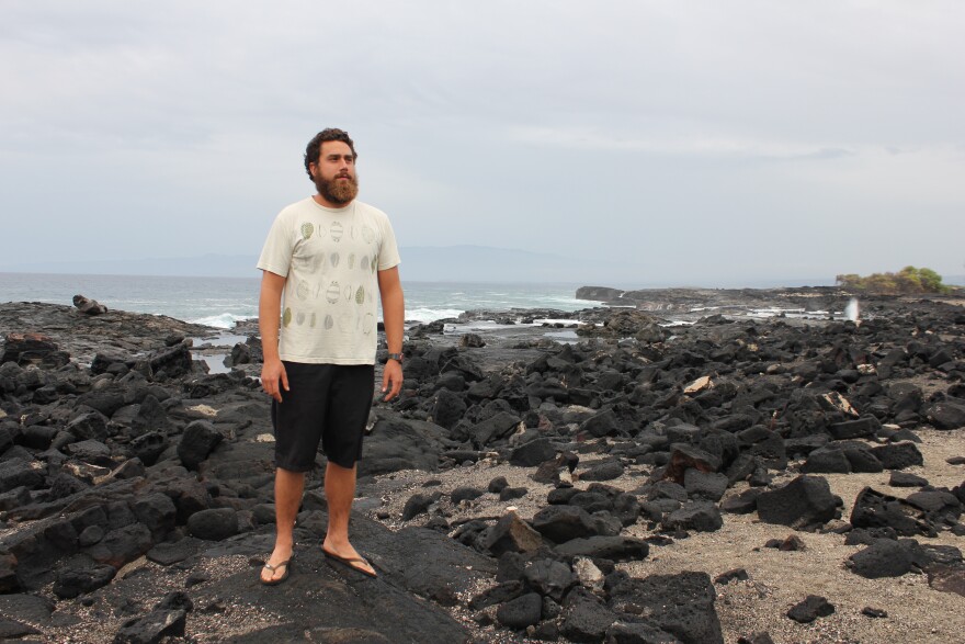
Kekaulike Tomich has been part of that fight. He’s also Springer’s son. The 27-year-old walks along the shoreline, pointing out salt flats along the way.
“This area was famous for the salt, said to be as white as snow,” said Tomich, as we walk a gravelly path toward the ocean.
He remembers catching his first fish in Kukio, a green wrasse, or hinalea. He now brings his four-year old daughter to swim in those same waters.
“It’s our homeland. It’s a place that has sustained us, a place that has sustained our ancestors,” said Tomich. “It’s an important resource for the people of North Kona.”
An important resource he’s hopeful will be around for future generations. Earlier this year, Governor Ige signed a new law that created a 10-year marine reserve across this 3.6 mile stretch of coastline. Tomich and others say that’s a good first step, but know there’s still a long way to go.


